


|
|
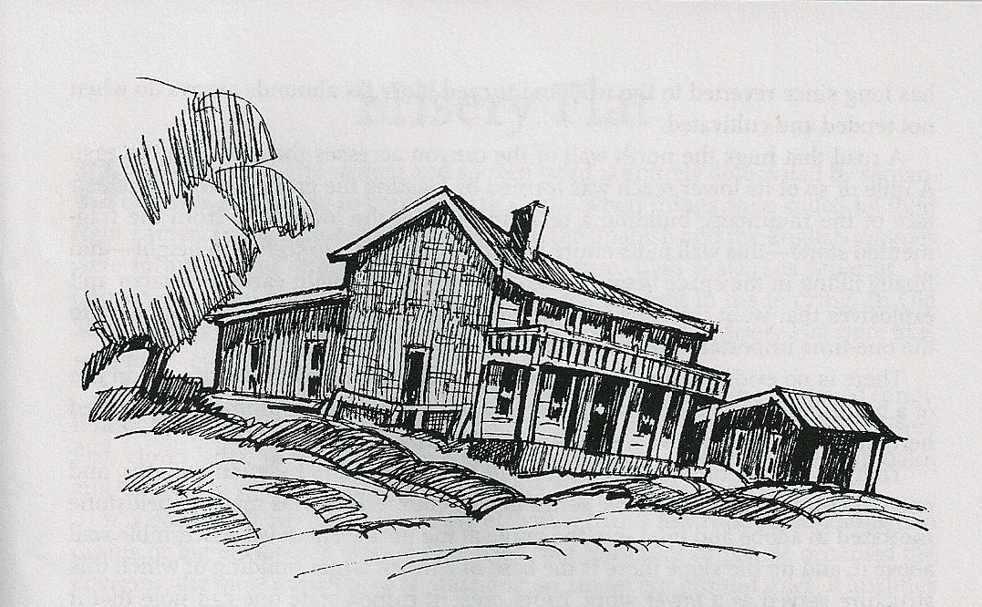
Forest Home, Amador County Ghost Town | ||
|
In the flow, interplay, contacts, groupings, polarizations, and stratifications of all nationalities, economic levels, culture, learning, and degrees of competence, occasionally there is encountered a group crystallizing from a single geographical origin. We may well use Forest Home as an example of this, where if not a majority, at least a wide segment of the inhabitants hailed from the Wolverine State. This held true to clear across the line into the County of Sacramento where Michigan Bar by its name proclaimed the native state of most of its citizens. |
|
|
|
The cemetery on the hill northeast of town documents this quite well, its epitaphs giving Michigan as the state of origin of many of those laid to rest. This necropolis holds some impressive headstones, several large shortened obelisks of marble, and two massive above grade tombs formed of slabs of marble weighing tons, encircled by a fence of lacy black iron. One headstone bears the regimental crest of a veteran of the War of 1812. |
||
|
One of the most beautiful and stately stone structures within the entire county is now a shapeless mound atop the hill west of the town center and facing Highway 16 at its south side. Reduced to a shell by wave upon wave of vandals, its 24-inch thick walls of buff-colored cut stone were purposely collapsed to prevent injury or possibly death to some thoughtless sightseer. |
||
|
In the mold so often repeated, a giant Washington palm and several spiked agaves bear witness to the once-extensive landscaping in the ground adjacent. Several miles up the Cosumnes a diversion dam turned water into a ditch serving the placers. This ditch is probably the largest in the Mother Lode. It is perhaps 12 feet wide at the bottom and 6 feet deep, flaring to 20 feet of width at the top. The area that it served was many miles square. With the possible exception of Dutch Flat and Blue Canyon, the rerouting of a river on this scale was attempted nowhere else. The underlying formation here is saffron-pink quartz gravel. Records of its content of precious metal do not seem to be locatable, at least not in any county files. These gravels, when taken from well washed deposits in the creek bottom and used as aggregate in concrete making, yield a product that possesses great strength. | ||

| ||
|
Information, photographs courtesy of the Amador County Archives, The Historical Marker Database, The Chronicling America Database, and Larry Cenotto, Amador County's Historian CONTACT US
|
||